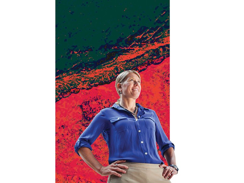
Exploiting subtle and, to the naked eye, often invisible differences in topography, geology and plant life, Parcak, a 38-year-old University of Alabama at Birmingham professor of anthropology, has used satellite imagery and other remote sensing tools to expose a stunning array of forgotten sites from multiple lost cultures. In Egypt, her specialty area, she and her team have expanded the civilization’s known scope, spotting more than 3,000 ancient settlements, more than a dozen pyramids and over a thousand lost tombs, and uncovered the city grid of Tanis, of Raiders of the Lost Ark fame. After the Arab Spring, in 2011, she created, via satellite, a first-of-its-kind countrywide looting map, documenting how plundered tombs first appeared as little black pimples on the landscape and then spread like a rash. She has pointed out the ruins of an amphitheater at the Roman harbor of Portus to archaeologists who had spent their whole careers digging above it, mapped the ancient Dacian capital of what is now Romania, and—using hyperspectral camera data—aided in the ongoing search for prehistoric hominid fossils in eroded Kenyan lake beds. Welcome to the age of space archaeology.


